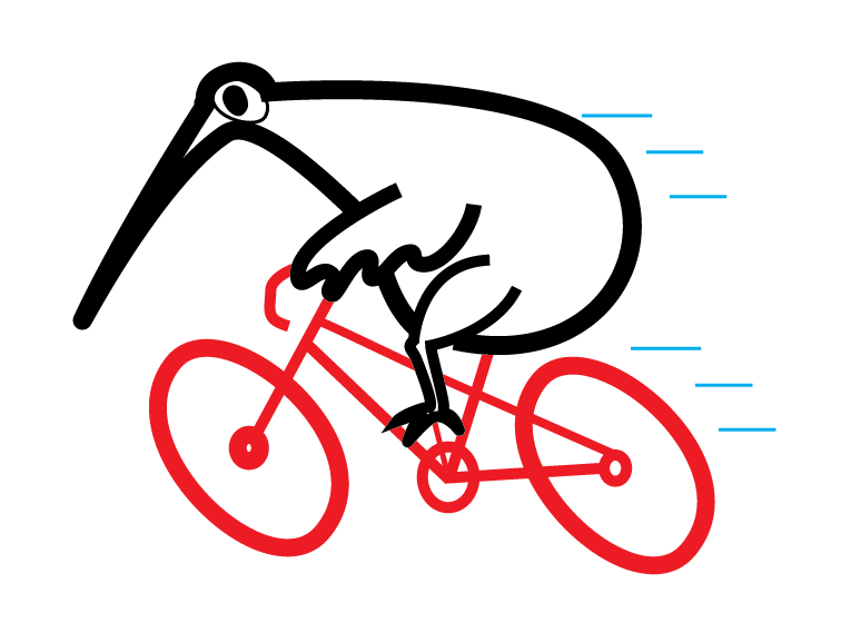
KIWI RANDONNEURS
The home of long distance cycling in New Zealand
The home of non-competitive brevet riding in New Zealand.
We organise and homologate randonneuring brevets for ACP, LRM and New Zealand sanctioned rides.
BRM events are internationally recognised randonneuring events for Kiwi Randonneurs members.
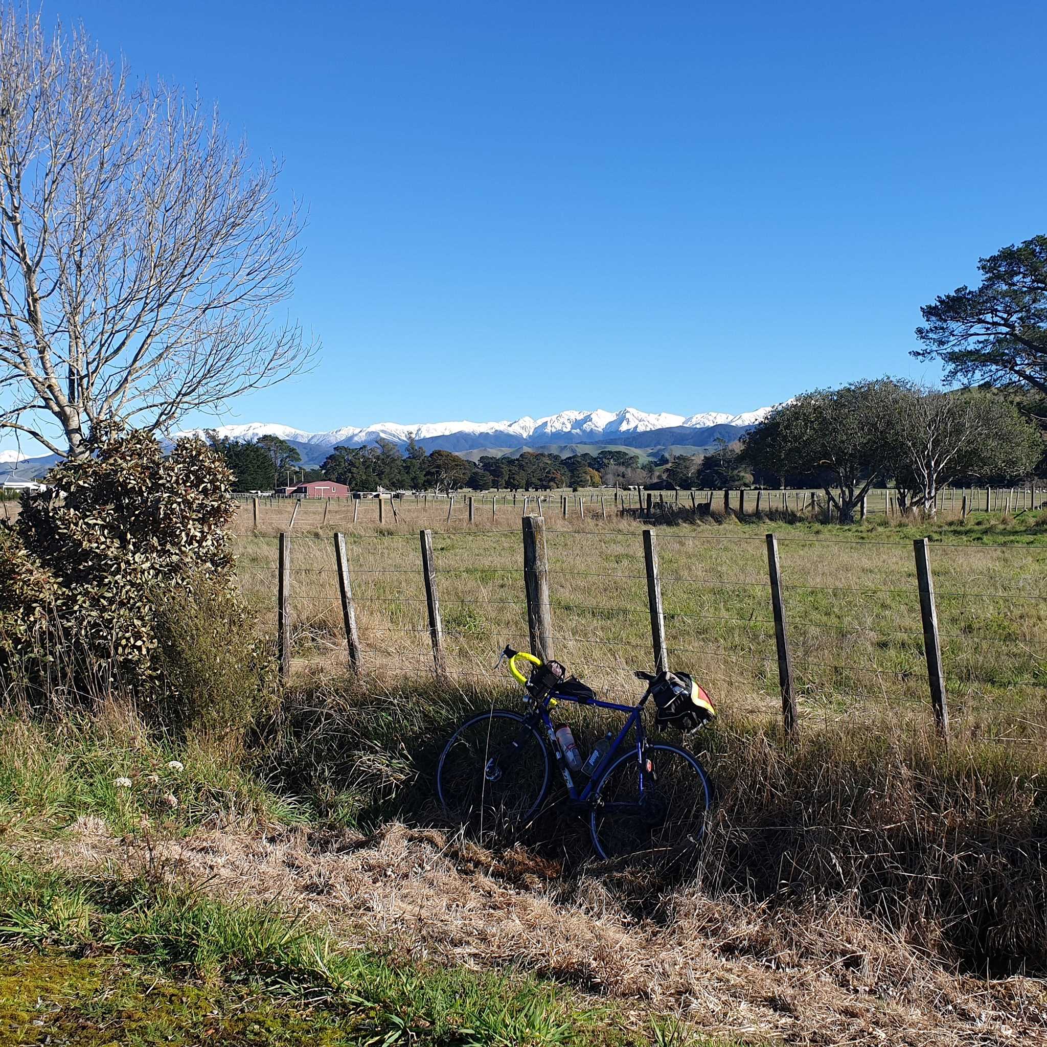
Gravel and social events are open to members and non-members alike.
SIGN UP TO RECEIVE OUR LATEST NEWSLETTER
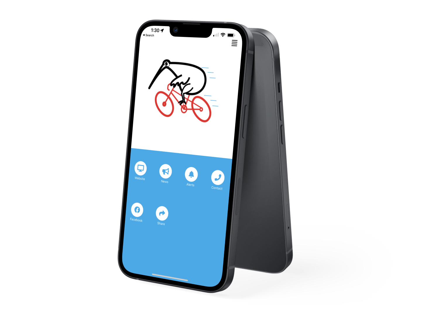
Download our
MOBILE APP
Go to the App Store or Google Play, search for Sporty NZ. Download then search for Kiwi Randonneurs


 Admin Login