Wellington-Auckland-Wellington is a 2000 km LRM event planned to start at 5am on the 14th of March 2026. It runs from the Wellington railway station through some of the best New Zealand back country to the top of Mt Eden in Auckland, then back to Wellington again.
We have two formats for this epic ride
1) LRM - Registered on the international calendar, LRM rules apply (you have to maintain a minumum pace and there is a time limit of just over 8.3 days or 199.3hrs)
2) Race - You can race this in your own time
Entries will be open later in 2025. We plan to run the event in New Zealands autumn (March-April) in 2026 when the weather great for cycling
The route at this stage is provisional. It includes 200 km of unpaved road to avoid busy sections of highway and prioritises good cycling roads rather than the most direct route. It's recommended that you ride a cycle with 32mm or wider tires.
Parts of this route runs through central high-country where the weather is changeable, and can experience snow or sleet at any time of the year.
New Zealand is a hilly country. If you are going to attempt the LRM you will need to be able to demonstrate to the organisers that you have successfully finished other randonneuring, bikepacking or similar ultra endurance events. Moreover many parts of this route has limited services and there are sections of 100 km or between towns, most with limited services. In practice this means being able to ride consistently for at least 240km, ideally 300 km per day to finish this brevet within the LRM time limits.
Starting from front of the main railway station for Wellington, the route follows cycling infrastructure out of the city. Between Wellington and Petone there is a short section of state highway 2 before joining the cycle path at the Petone overbridge that will take you all the way to Upper Hutt and onto the Remutaka rail trail. Sections of this are unsealed but very smooth other than a short section of the Remutaka rail trail before it exits at Cross Creek and riders should take care.
Onwards to Featherston where there is a couple of cafes, super market and public toilets on Fox street about 500 metres off course. From Featherston follow Underhill Road, then the shared used path towards Greytown. The route skips around the back of Greytown where there are cafes, supermarkets and toilets on the main street. Stock up now, there is nothing until Masterton.
Masterton is the main town for the Wairarapa where there are bikeshops and anything else you could need. This is the last major town before Pahiatua at 209km. Pahiatua has basic amenties. From Pahiatua the route climbs over a low saddle to Palmerston North at 245km the largest town in the Manawatu region that has full amenities. For many this is a good day 1 target, or Marton at 296km. Marton has basic amenties and one Motel. On the way to Marton you pass throguh Bulls that has a vareity of food options. Stock up at Marton. The next town is Raetihi that only has very basic amenties at 459km. On your way to Raetihi you travel up the scenic Whanganui River, however there is no potable water or food on this section. Stock up at Raetihi, the next town Owhango has mimimal services and a section of metal road (generally down hill trend) from Waimarino and then again after leaving Owhango. Riders are advised that the weather can change very quickly in this part of the course and you should be prepared for sleet or snow any time of the year!
Taumarunui has most services but no bike shop 568km and plenty of accomodation options. There are toilets on the main street. Stock up when leaving Taumarunui, this is you last resupply before Ohura where where is only a mexican food canteen (if its open) and little else. There are toilets and you can get water from the firestation.
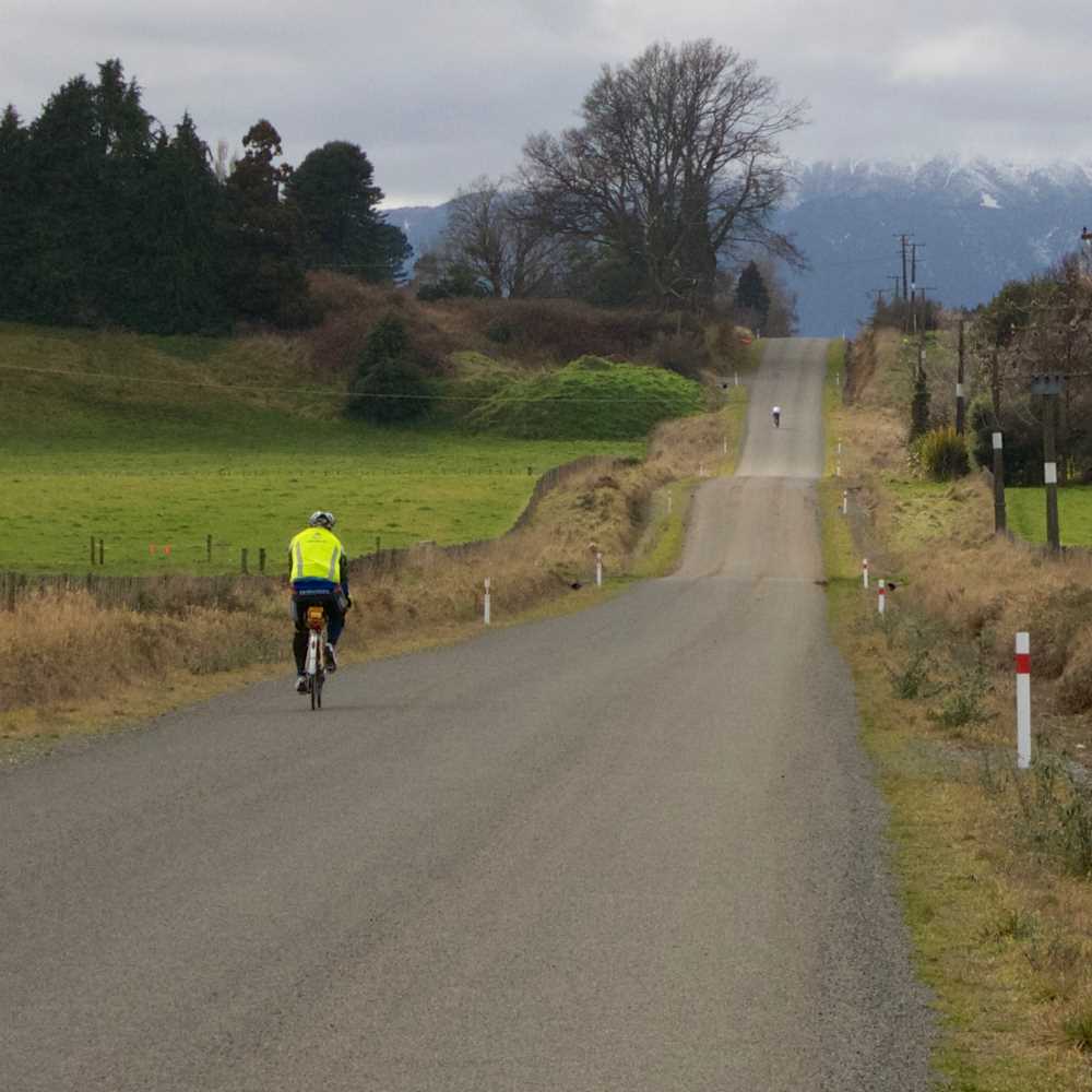
From Ohura the route follows back country roads towards the Pureora Forest, before entering the farmland of the King Country and on to the Waikato basin, Auckland, the Seabird Coast and Ngatea. The ride is remote with the first township of Te Kuiti at 104km, after that, there are towns at every hour or so through to Huntly, (in order, Te Kuiti, Otorohanga, Te Awamutu, Hamilton, Ngaruawahia, Huntly) then Tuakau and the entry to Auckland at Drury.
There is a short section (4km) on SH4 approaching Ongarue, it is expected to be quiet for a state highway. The road from Ongarue continues to follow the Ongarue River, a quiet back road that joins state Highway 30 approximately 6km west of Maniaiti/Bennydale. The route turns left and continues through the valley to Te Kuiti. This highway is generally quiet, and is not a major through route.
The route passes parallel but behind the main shops in Otorohanga and heads towards the prominent Mount Kakepuku and Te Awamutu just behind it. The route passes close to the shops and toward Hamilton City.
Hamilton is a major city with all the amenities including food, bike shops, etc. The route passes into the CBD and along the outer suburbs and joins the riverside bike lane (Te Awa River Ride) heading north to Ngaruawahia, Huntly and Tuakau. There is a 3km section of gravel along Churchill Road. Auckland is the largest city in New Zealand and there are plenty of opportunities for food along the way. The summit of Mt selfie, take a good look at the view…
Clevedon to Kawakawa Bay and to the Seabird Coast can be busy at either end of the day on the weekends with boat trailer traffic, during the week, there is commuter traffic at either end of the day but less trailers on the narrow road.
The route along the Seabird coast is generally flat, and scenic. The roads are straight with good sight lines for drivers.
Turn left onto SH 25 at Waitakaruru, taking care at the narrow bridge, there is a right turn immediately after.
Bike shops are located in Te Awamutu, Hamilton, Huntly, Pukekohe and Auckland.
The water is potable in most Public toilets, there are signs up if this is not the case. At Clevedon there is a potable water fountain near the toilets.
The route rises gently from Ngatea to Te Aroha and Matamata (look out for Hobbits) before entering the rolling hills of the south Waikato, and onto the Volcanic plateau at the centre of the North Island.
The towns though this section after Matamata are spaced out about every 100km. The route follows the Tour Aotearoa to Arapuni and generally to Mangakino. There is a busy section of SH 29 from Hopkins Road to SH1 and onto Horahora Road. Take care on bridge approaches and give way to large traffic approaching behind. Mangare road has a short section of gravel on it before turning onto Waipapa Road. Waipapa Road during the week will have light commercial traffic. Some of the hills and bends can be blind and there is limited shoulders.
The route joins SH4 at National Park, and continues to SH49 at Te Hunga Junction before getting back to back roads, and some gravel, at Tangawai.
At Hunterville, turn left onto SH1, the off onto Murimotu Road, and returning to SH1 for about 6km, turning to the right north of Ohingaiti on Otara Road. Otara Road has a short section of gravel before the route turns south again and heads to Ashurst.
Bike shops are located in Matamata and Turangi.
The water is potable in most Public toilets, there are signs up if this is not the case. At Clevedon there is a potable water fountain near the toilets.
If you have made it this far well done, only a days riding left.
Leaving Ashhurst, make sure you have plenty of food and water, there is 125km to Masterton before you can get either. The route takes you over Saddle Road then through lumpy North Island farmland with sections of metal, the first of which a significant climb up along the flanks of Mount Marchant then follows a generally downhill trend towards Masterton. Stock up here again as the route swings inland again heading towards Martinborough at 176km where there are cafes, small super market and a petrol station. You cycle past the toliets as you come in. From Martinborough the route takes you around Lake Wairarapa back to the entrance of the Remutaka Rail trail you came down on day 1. This is your last signifant climb of the route. Follow the railtrail and the back towards Upper Hutt, towards Maymorn and the scenic Whitemans valley. Whitemans valley climbs imperceptably until you get an awesome 2km decent into Silverstream at 283 km. Follow cycle infrastructure from here into Wellington and back to the start point.
Les Randonneurs Mondiaux (LRM) was created in Paris in 1983, with a major objective of promoting, encouraging and applauding the efforts of cyclists taking in part in the long brevets of 1200kms and above.
In order to carry out its objective les Randonneurs Mondiaux has a small executive that is charged with recording and ratifying the long brevets around the world. The executive consisting of President, Vice president and Treasurer are elected every four years at the General Assembly held in Paris, immediately after the Paris -Brest-Paris Randonee.
We dont ride quite such a direct route but impressive effort and the video gives some idea of the landscape
KIWI RANDONNEURS
c/o 11 Newburn Grove, Lower Hutt 5014 New Zealand
Email : info@kiwirandonneurs.org.nz